The USA has 63 national parks and hundreds of thousands of kilometres of hiking trails and different trains to explore. With a playground this large you’ll find something new at every corner, alpine lakes, vast canyons, stark summits and more.
The best part is that it doesn't matter if you're a novice, an expert, or just feel like taking a short stroll, as you will undoubtedly come across a wide range of routes that are ideal for all levels of exploration.
Remember to always take the necessary safety precautions when hiking, make sure you travel with a friend, or at the very least, let someone know the trail you intend to take. In some cases, you should hire a guide if you lack prior backcountry experience or a thorough understanding of the terrain. Below we've listed some of the best hikes in the United States and included some helpful information on difficulty, distance and how to make the most of your Priority Pass membership.

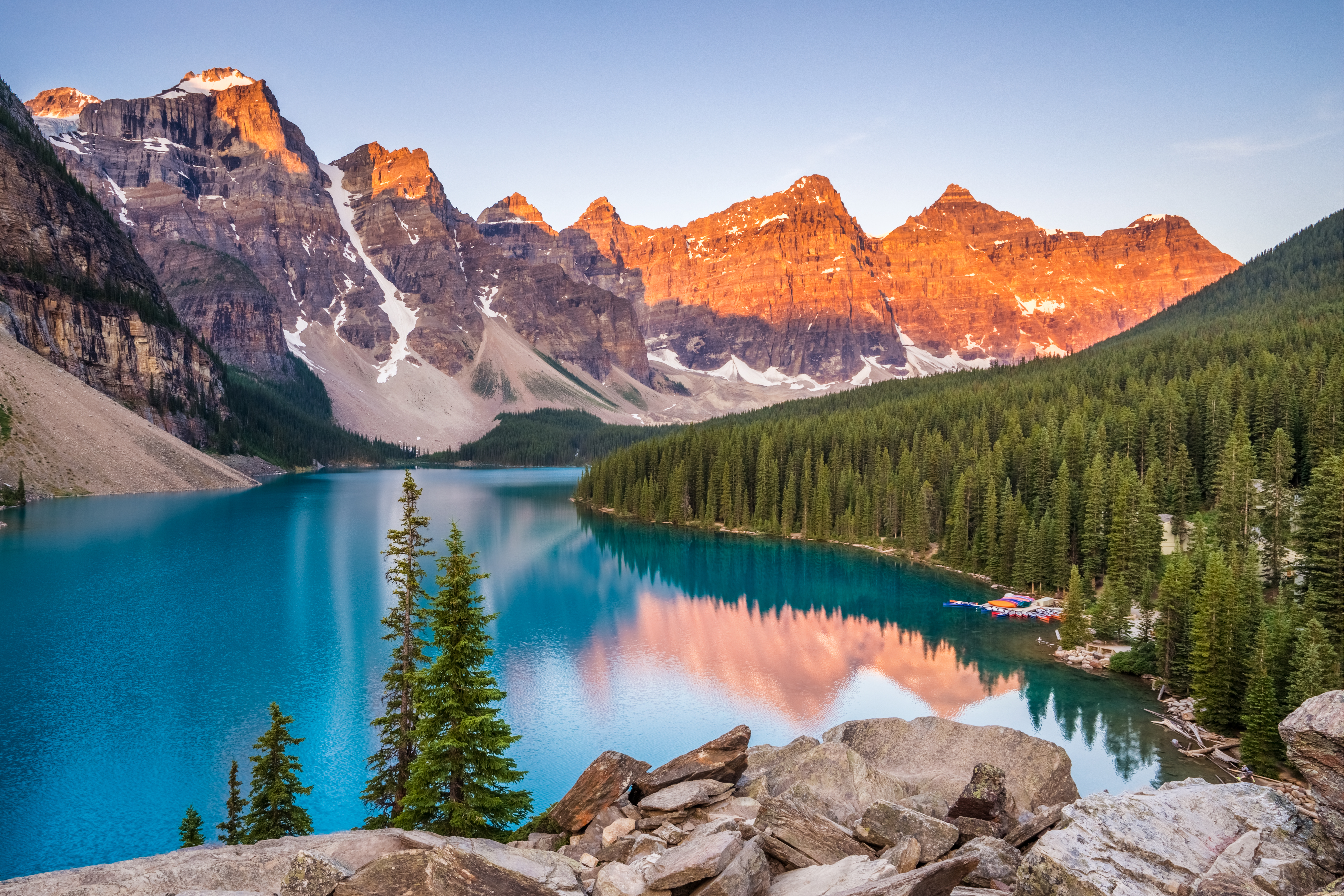
1. Yosemite Falls Trail, California
Leading you to the tallest waterfall in the country, not only is this is one of the best hikes in America, but this beautiful trail is the best way to see Yosemite Valley. This trail is strenuous, and a good level of physical fitness and endurance are needed. Something to note is that it isn't necessary to hike the final ascent to the top of the Upper Falls as there is no view of the cascades, and you can see both falls along your route. Permits are not needed to hike this trail and the best time to visit is spring and summer. When you reach the falls, you will be in awe of its size and beauty. Its drop is a massive 2,425ft whereby contrast Niagara Falls only drops 156ft. Be sure to bring a rain jacket if you are visiting in spring as the falls will be roaring.Trail Information
Priority Pass lounges in San Francisco CA International - 169 miles to the Big Oak Flat Entrance (3 hrs 10 mins) or 193 miles to Yosemite Valley (3 hrs 50 mins).
2. Burroughs Mountain Trail, Washington
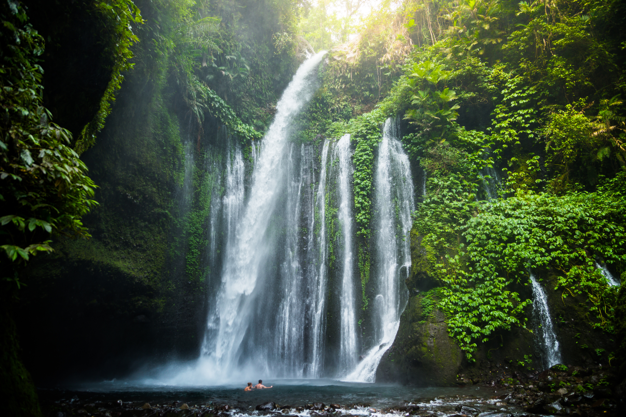
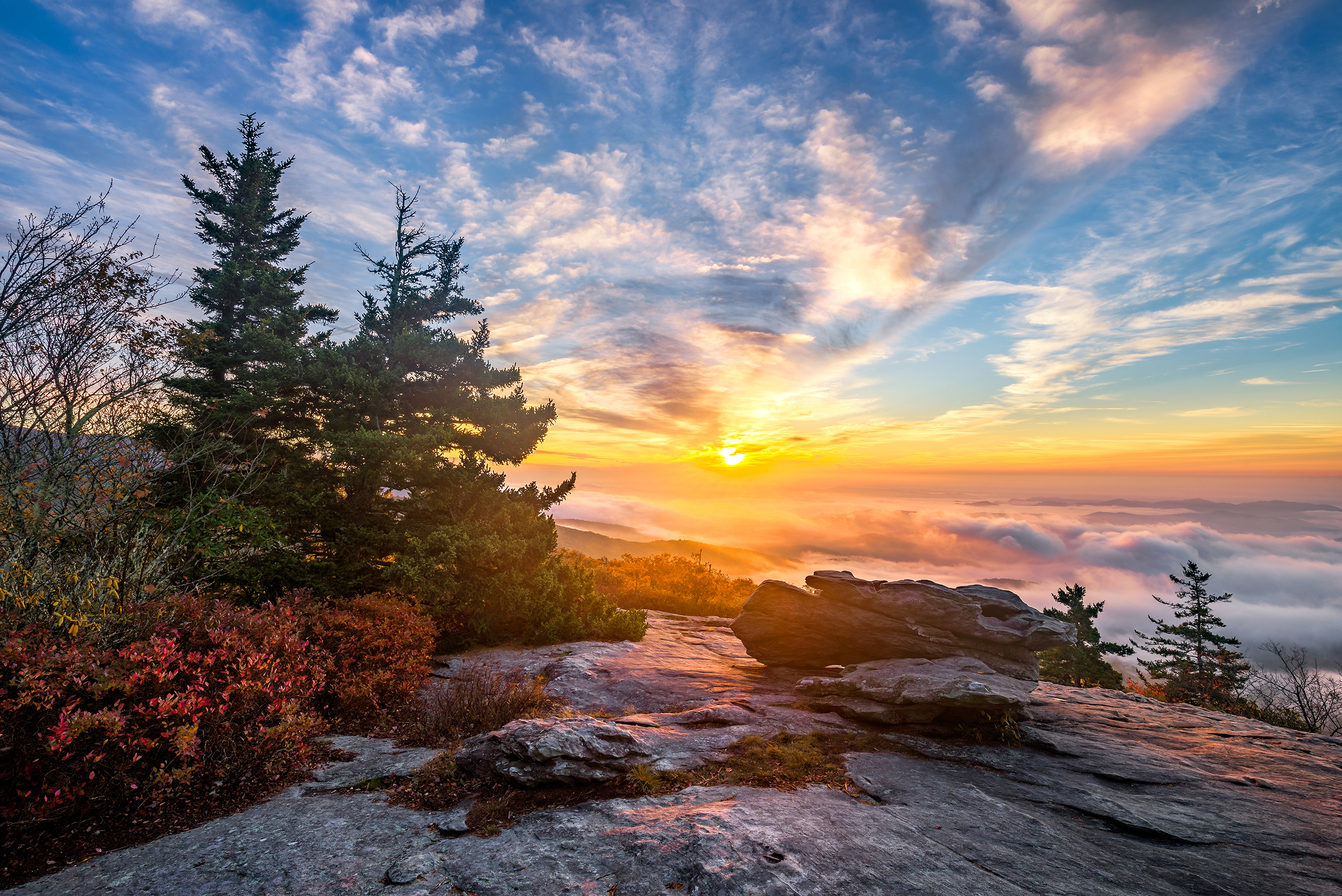
By far one of the most beautiful national parks in the US, Mount Rainier National Park is home to Mount Rainier or indigenously known as Tahoma, considered one of the most dangerous volcanoes in the world. The risk of its eruption is extremely low and won't be something to factor in on your travel there but snaking their way through the park, are several awesome trails like Burroughs Mountain Trail. This scenic hike is around 14.5 miles and with it you are gifted the most stunning views for your difficult hike. It is the highest accessible point of the park so there are scenic spots and vistas all along, including up close views of Mount Rainier, The Emmons Glacier, Mount Fremont and Sourdough ridge. Be sure to check the weather forecast ahead of time as the early season can be snowy.Trail Information
Priority Pass Lounges at Seattle WA - SeaTac - 79.5 miles (1 hr 32 mins) from the airport to Mount Rainier National Park.
3. South Kaibab Trail, Arizona
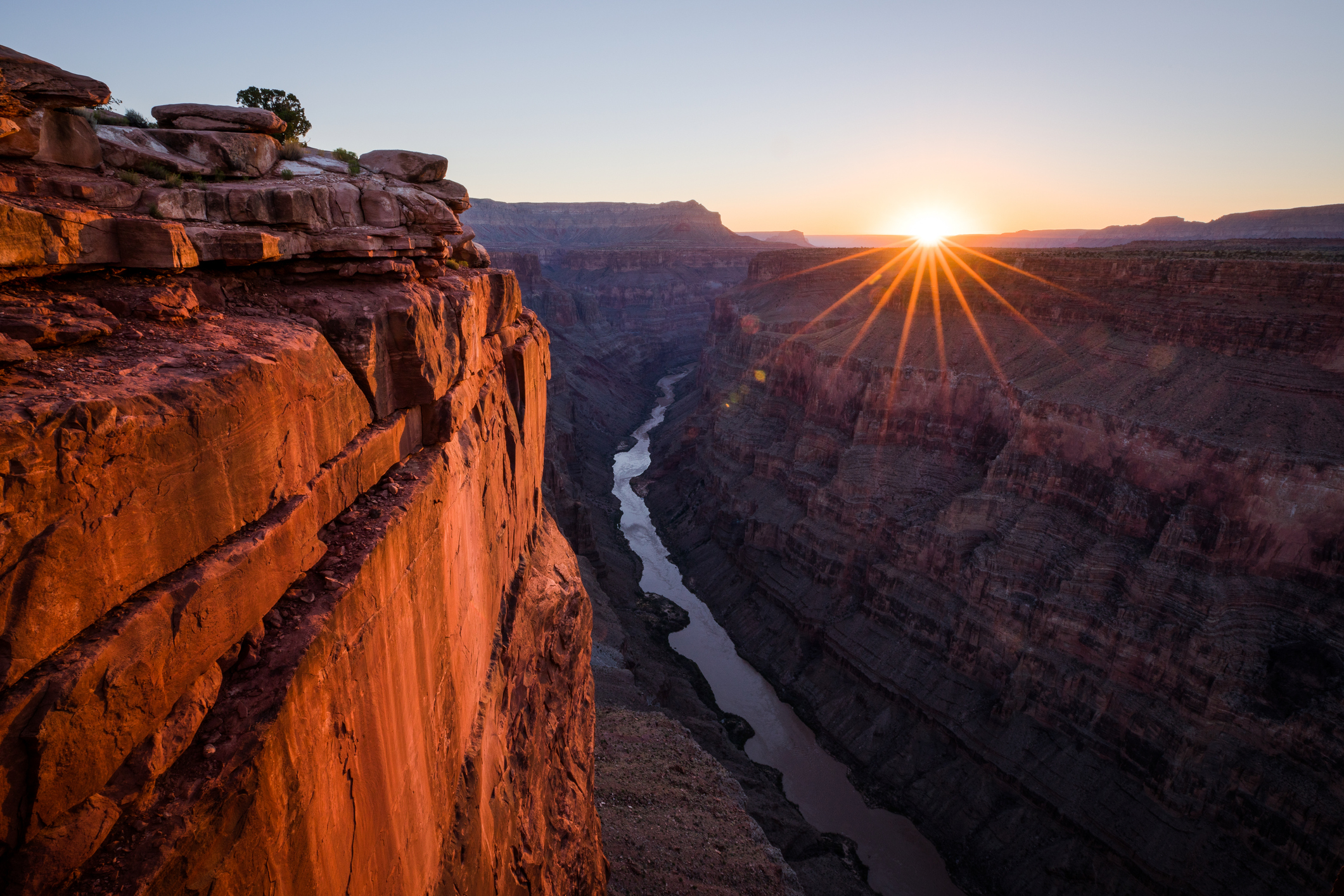
Another one of the best hikes in the US is not in the Grand Canyon that everyone knows, but in the Grand Canyon National Park that sits in Arizona. The South Kaibab Trail winds itself through the most dramatic ridgeline, descending through a magnificent Canyon. With stunning rock formations, this is one of the most gorgeous trails in the country, not to mention the Colorado river that runs through it. Be wary of the wildlife roaming the trails - you should keep an eye out and yield to the mules who are known to use this route. Along this trail, hikers will see Cedar Ridge, Skeleton Point, Ooh Aah Point, and the Grand Canyon rim. As the trail is strenuous hikers should be prepared for a long day, though it is recommended to split the hike over two days and visit one of the campgrounds overnight.Trail Information
Priority Pass Experiences at Tucson AZ Intl - although a slightly longer drive at just over 5 hours, the experience and the views are worth it.
4. Grinnell Glacier Trail, Montana
Montana is home to Glacier National Park, the most stunning natural scenery in all of the US, offering several hikes ranging in levels of difficulty. The Grinnell Glacier is located in the centre of Montana's Glacier National Park. The glacier is found in the Lewis Range in the Many Glacier area of the park, on the northern slope of Mount Gould. The average elevation is just over 2,000 metres, and on a day with fabulous weather this is a truly remarkable hike. The Grinnell Glacier Trail is demanding and is not for the light-hearted but you will be rewarded with the most spectacular views and encounters with over 70 species of mammals. You’ll even potentially come across moose or even grizzly bears, though we recommend you steer clear of these guys (the evening is prime time for them to roam so take caution).Trail Information

5. South Rim Trail, Arizona
This stunning 13-km trail in Big Bend National Park is a challenging climb to the highest ridge. However, the trail is largely level, is by far the most well-known hike in the park. This hike connects the Grand Canyon Village and Hermits Rest Point and offers breath-taking views of the Grand Canyon and Colorado River. From the highest ridge, you can gaze upon mountains that lead all the way to Mexico. We recommend visiting during the spring as the months are cooler and there are often less crowds, so completing the route is far more enjoyable, this is arguably one of the best hikes in the United States.Trail Information
Priority Pass Lounges at Las Vegas NV International - it is a 4 hr 27 min (275 mile) drive from Las vegas to the South Rim.
6. Awa’awapuhi Trail, Hawaii
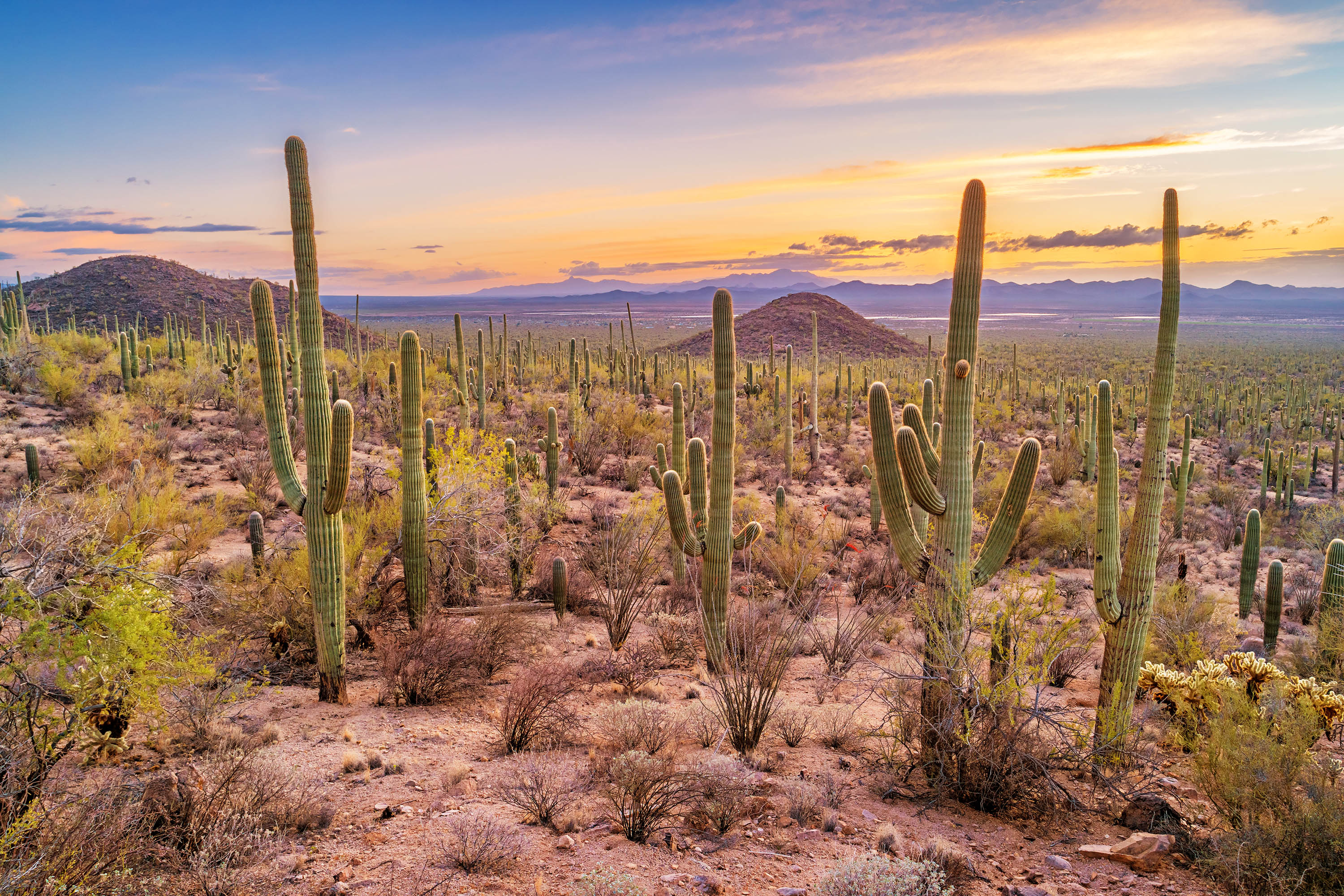
You couldn't have the best hikes in the USA without including one from Hawaii - and there are many to choose from. Within Koke’e state park lie several stunning trails with gorgeous views and a range or different plant life over the Na Pali Coast of Kauai. The Awa’awapuhi Trail is just under 10km with tricky climbs and steep routes but it's worth the challenging climb to see over this beautiful coastline. There is always a potential of rain on this trail, so if you decide to go, we advise packing plenty of water, some snacks, and rain gear.Trail Information
Priority Pass lounges at Honolulu HI International - when travelling to Hawaii you will most likely be flying into Honolulu before jumping on a ferry, smaller plane or helicopter to the Kauai island. It’s approximately a 130 mile distance and travel times vary depend on mode of transport selected.
7. Lost Coast Trail, California
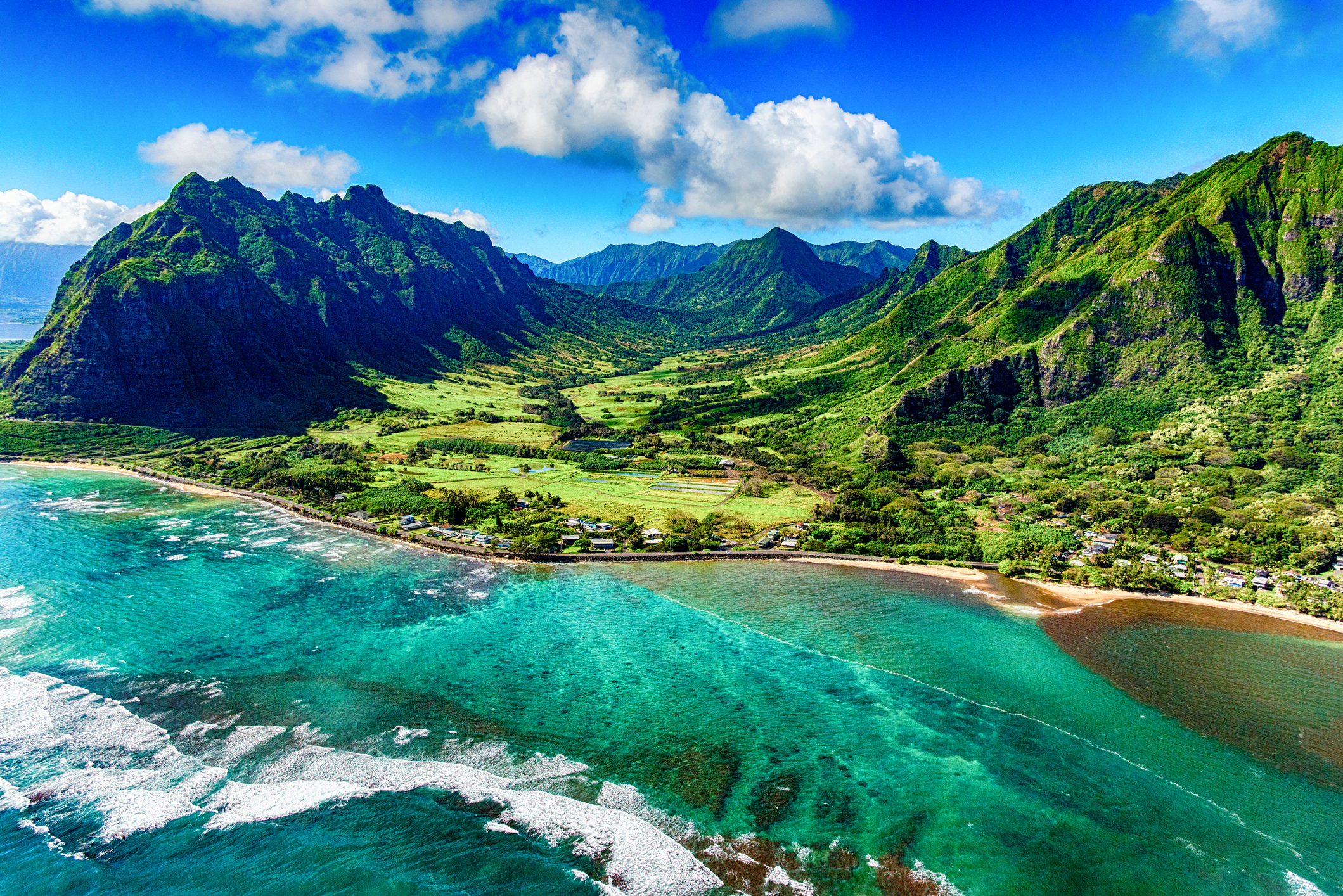
Outside Alaska, this coastline is the largest undeveloped coastline in the country. The trail can be found in the King range National Conservation Area in Northern California and it runs from Northern Mendicino to Humboldt County and along it are some of the most rugged yet stunning natural features. Named the lost coast trail as twice per day stretches of the route disappear beneath the oceans high tide.With shuttle buses to pick you up on the other side this 25-mile hike, it's a destination that may not be that well known. Given its history and name, Lost Coast Trail, it's no surprise the barren place is often forgotten when it comes to the best hikes in the US, or even just California. But this unique, lost world of forests and beaches is home to an unforgettable adventure waiting to happen.
Trail Information
Priority Pass Lounges in San Francisco CA International - The Lost Coast Trail is a 4 hr 17min (279 mile) drive from San Francisco.
8. Navajo Loop Trail, Utah
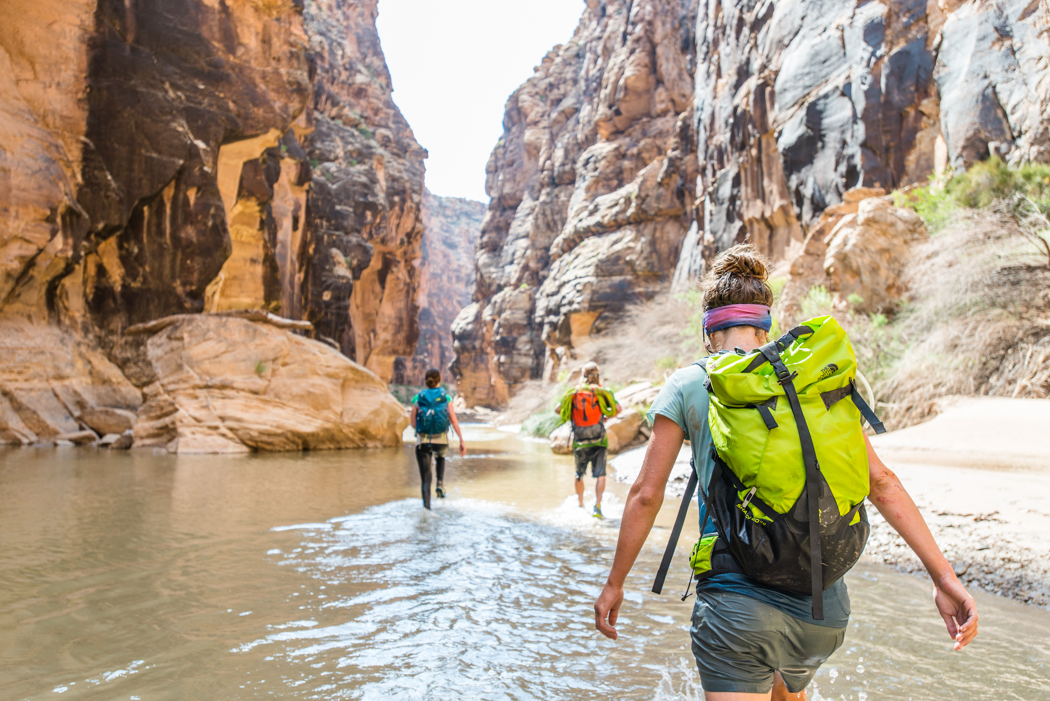
This perfect family hike that is one of the shortest of our list and lets you explore this magnificent desert scene that covers Bryce Canyon National Park at ease. Beginning and ending at Sunset point, you will carve your way past towering rock formations that rise to the sky - this park feels other worldly. Hiking in and out of the canyon takes about two hours, the full loop is just 2.4km long, shifting between elevations.If you only have a limited amount of time to see Bryce Canyon National Park, the Navajo Loop route is a must-do since it offers stunning views of the hoodoos and the distinctive Utah scenery. The Navajo Loop Trail does also connect to a number of other well-known hiking routes in Bryce Canyon National Park, so you could pair this walk with some of the other trails, like the Queens Garden trail if you are looking to extend your journey.
Trail Information
Priority Pass Lounges in Las Vegas NV International - the nearest airport to the Navajo Loop is in Las Vegas, roughly 4 hours away (272 miles).
The Triple Crown
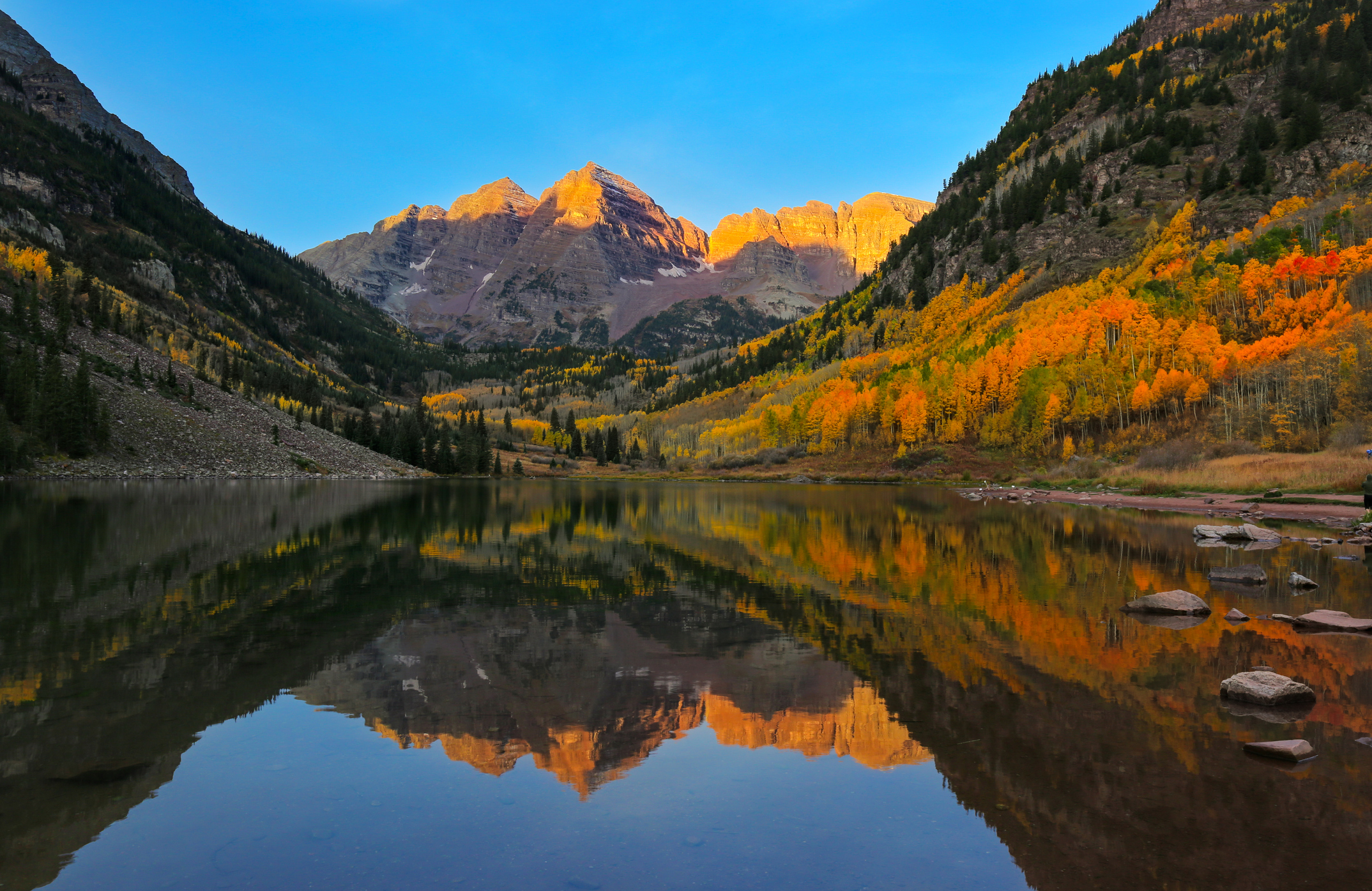
The Triple Crown includes three of the longest and perhaps most notorious trails in the USA: The Appalachian Trail, the Continental Divide trail and the Pacific Crest trail.Not much can prepare you for hiking thousands of miles over rugged terrain besides just doing it, but training can help. Be sure to prepare yourself ahead of your hike and educate yourself on the terrain, equipment and resources needed (or where you can re-stock on these), weather expectations and budgeting estimations.
9. Appalachian Trail, Cross Country
The Appalachian Trail is one of the oldest National Scenic Trails in the states. The trail is a staggering 3,500km long travelling through the Eastern United States, however, there are options to explore only sections of it if camping out for half a year isn’t your style. Waterfalls, scenic spots and dense forests are features that make this trail one of the best in the USA. Meandering across 14 states and starting from Maine in the North to Georgia in the South of the states, the Appalachian Trail, is the world's longest and most popular hiking-only trail. You’ll be sure to uncover stunning night skies, plenty of wildlife and beautiful scenery on this excursion.Trail Information
Priority Pass lounges in Washington DC Dulles International - this is roughly a 50-minute drive (38.6 miles) from the Appalachian Trail.
10. The Pacific Crest Trail, Cross Country
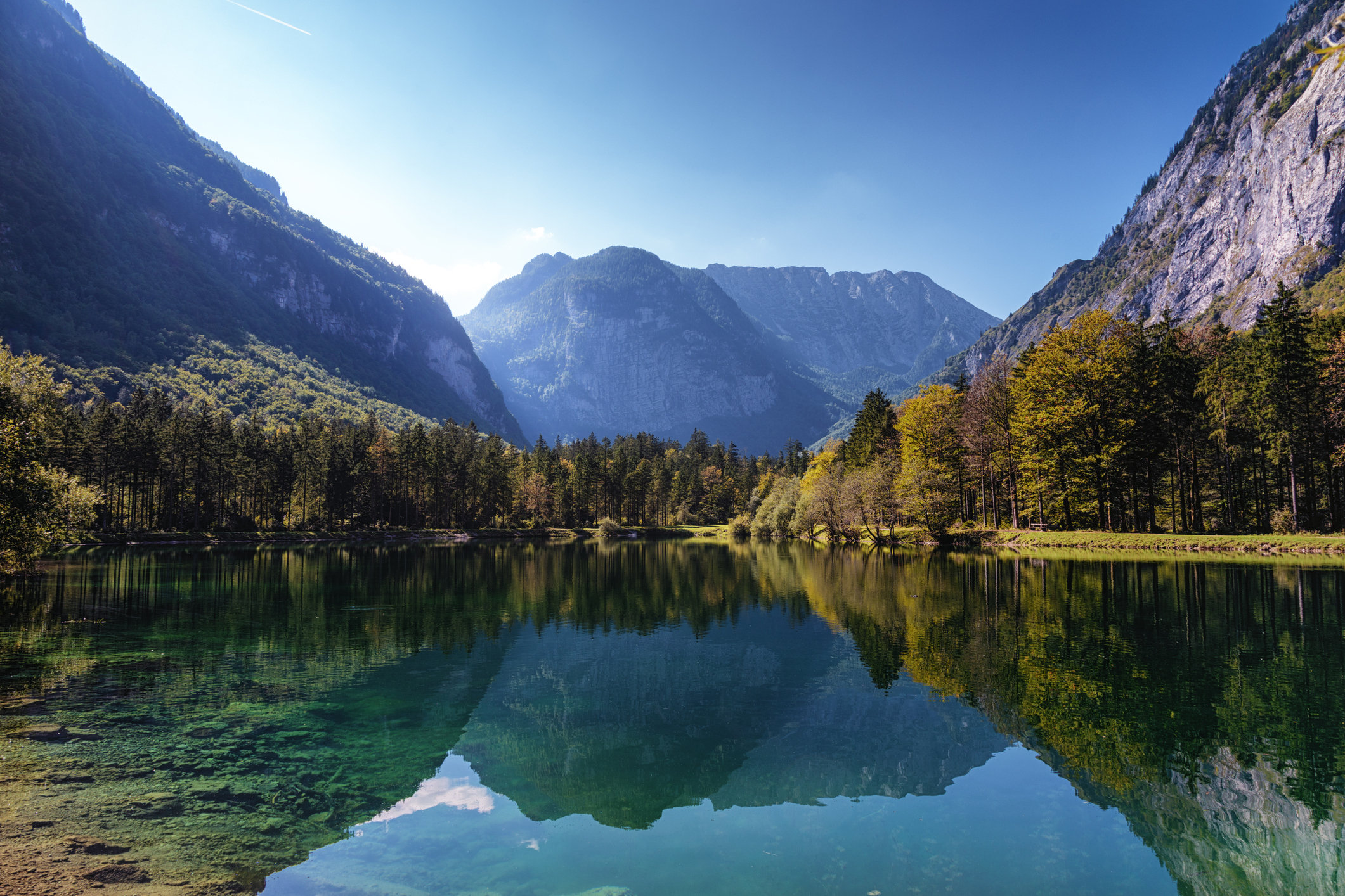
The Pacific Crest Trail should be at the top of every serious hiker’s bucket list. Starting in the small town of Campo on the US-Mexico border, the trail meanders 4,265 kilometres through California, Oregon, and Washington before arriving at the US-Canada border in the northern terminus. This national scenic trail uncovers the splendours of the desert, unfolds over Sierra Nevada's glaciated summits, and offers breath-taking views of the Cascade Range's volcanic peaks. It’s a difficult challenge and is Americas second longest trail so be sure to be physically and mentally prepared ahead of undertaking this challenge.Trail Information
Priority Pass lounges in San Diego CA International - this is the closest major airport to the PCT Southern Terminus and is a hefty 12 hour drive (715 miles approximately).
11. The Continental Divide Trail, Cross Country
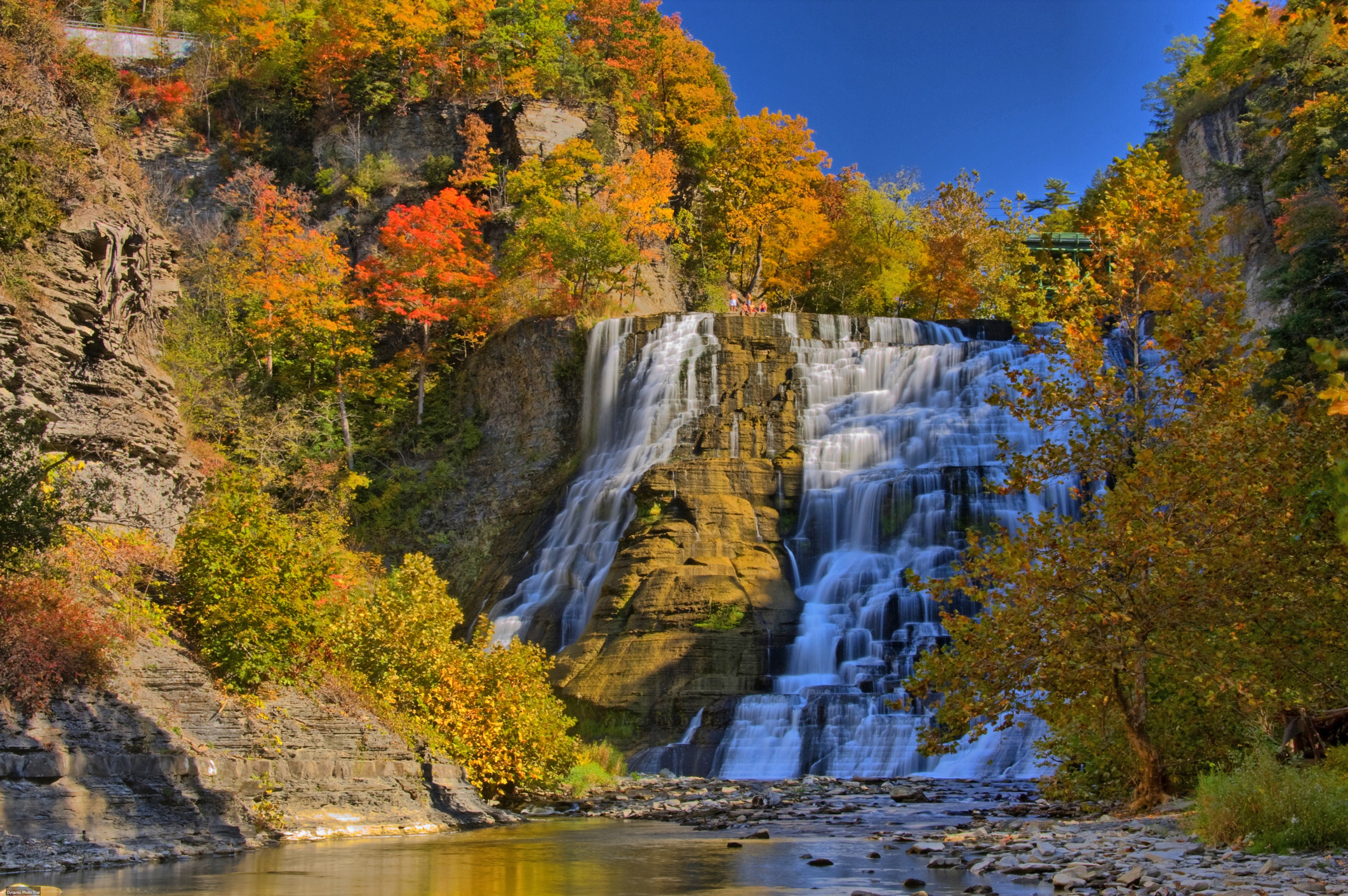
The final of the Triple Crown is the 3,028-mile cross-country trail known as the Continental Divide Trail Coalition. It is named after the naturally occurring boundary or ridge separating a continent's river systems and it follows the huge divide created by the Rocky Mountains and extends from Mexico to Canada. Some of Colorado's most beautiful, picturesque views can be found along this hike which snakes across country. The Continental Divide of the Americas is the longest continental divide in the world, stretching from Cape Prince of Wales in Alaska, through the Rockies of Colorado, into Central America, and finally ending in the Andes of South America, crossing through 5 states in total.Trail Information
Priority Pass Lounges in Chihuahua Gen. R Fierro Villalobos International - approximately 5.5 hours away from the CDT Southern Terminus.
